E57 Converter
Built to enable the creation of virtual tours from 360 photographs - output in an E57 format for use in viewers such as Hexagon Geocloud, or integrated with point cloud data in other processing software, SurveyTools E57 Converter provides an easy to use interface for rapid tour creation.
Designed for use in the rail industry, this tool enables the creation of virtual tours where other methods fall short. Enabling engineers, designers and other stakeholders to virtually visit sites reducing boots on the ground.
Features:
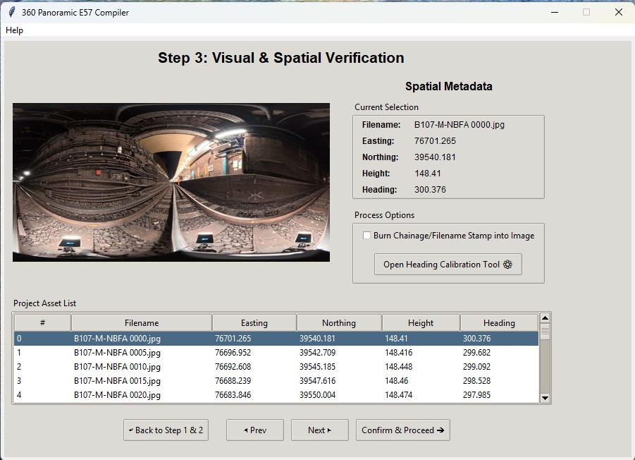
- Connect photographs to real-world coordinates: Using a simple ingestion procedure, uploading a csv with coordinates (relative, or real world) creates the spatial link.
- Visualise the tour before publishing: Ensure everything is as it should be before committing to processing your files.
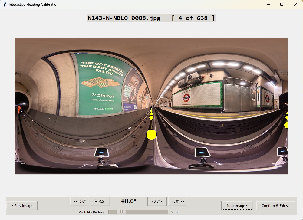
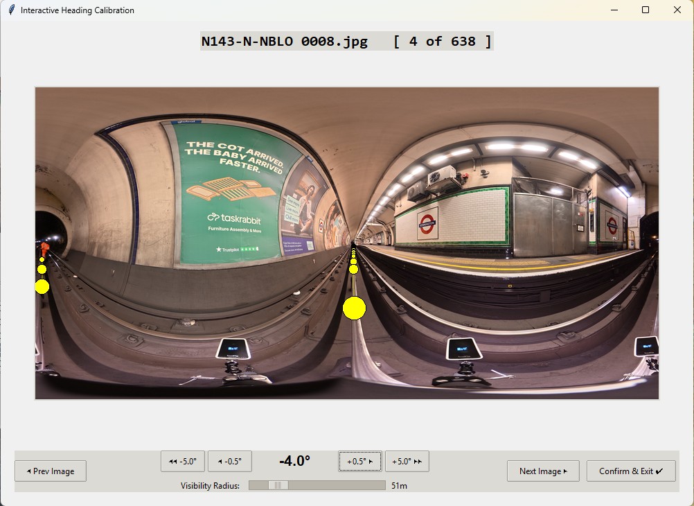
- Calibrate image alignments visually: Use the built in calibration feature to adjust the image heading ensuring an accurate virtual tour.
- Stamp information directly to imagery: For long rail alignments, knowing the location and context of each photograph is essential. Simply stamp the file name on the photograph to remove ambiguity.
Documentation for the E57 Converter is available here.
This tool is available direct from the developers. Please contact us at ben@surveytools.co.uk for more information.